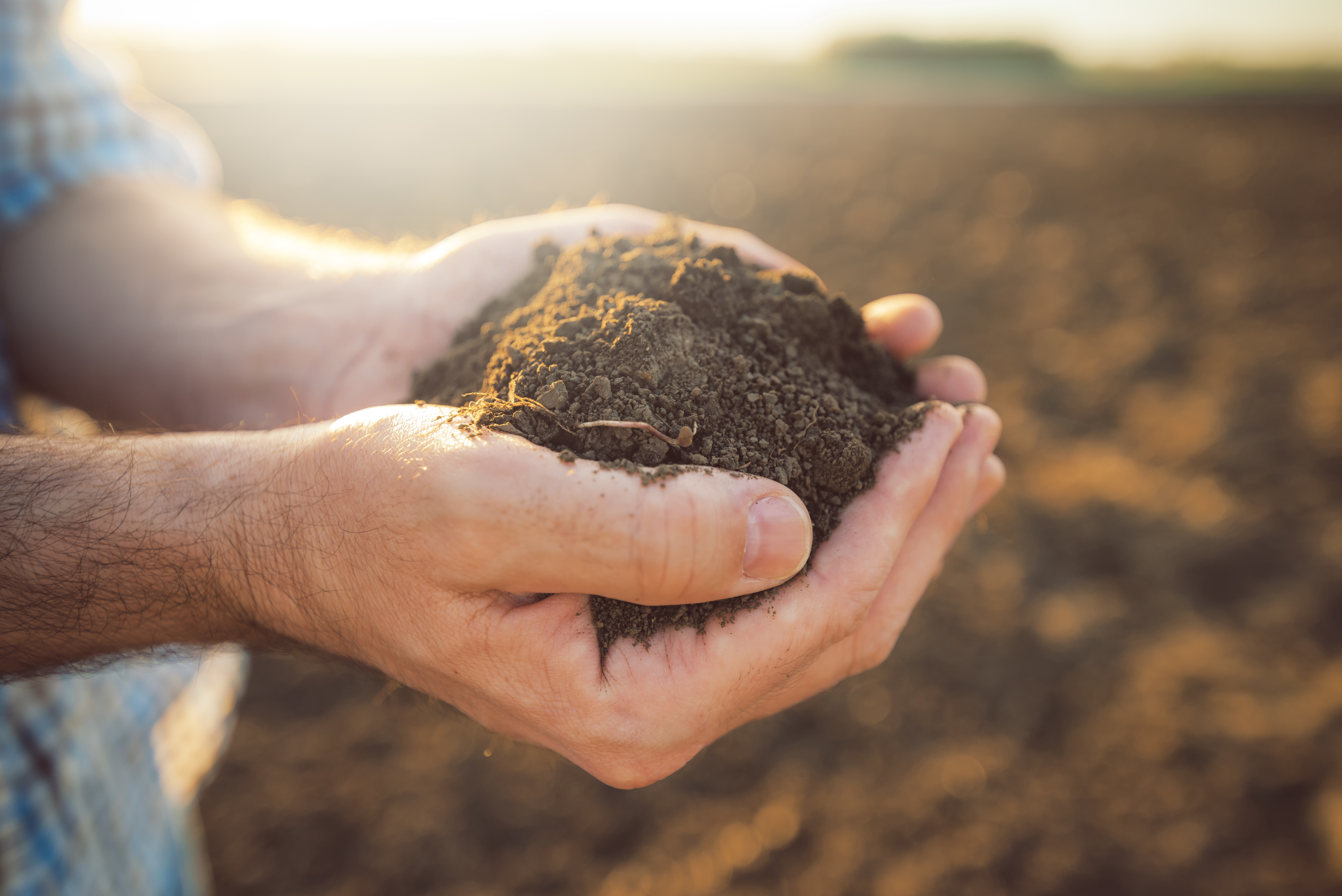
Soils form over thousands of years through local interactions of climate, geology, hydrology and management. Physical and chemical alteration (weathering) break down parent materials (solid rocks and drift deposits). Finally, biological cycles of growth and decay produce the critical extra ingredient: organic matter (OM). Each field has unique soils. Underlying geology determines the soil parent material and its properties, including soil depth, stoniness, mineralogy and texture. Soil maps, therefore, often closely resemble geological maps. Parent material is the main determinant of whether soils are likely to have a shortage or an abundance of particular nutrients – phosphorus (P), potassium (K) and magnesium (Mg) or trace elements.
There are about 750 soil series in England and Wales. National soil maps group soils that often occur together into smaller ‘map units’. At present, there are about 300 ‘soil associations’ and about 30 ‘soilscapes’ in England and Wales (Scotland and Northern Ireland have a different classification system). The basic soil types determine many of the inherent soil-related constraints (e.g. waterlogging and erosion risks, soil texture, depth and stoniness) reflected in the agricultural land use capability classification.
This text is from AHDB's Principles of Soil Management
The Soil Survey maps and classifications in England are owned by Cranfield University. You can find out more from their Land Information System at www.landis.org.uk/
A simple soil classification is provided by RB209 The Fertiliser Manual, grouping soils as Deep Clay, Deep Silts, Light Sands, Shallow, Organic, Peaty or Medium.
Various mapping tools are available to get soil information;
BGS Soilscapes viewer
Cranfield LandIS
EU soils viewer


