The problem
It is crucial to harvest vining peas at the correct maturity and get them to the factory as quickly as possible. This requires good coordination between growers and processors, including provision of forecast harvest volumes throughout the harvest period. However, uncertain yield predictions make it difficult for vining pea growers to provide accurate early forecasts. This creates a logistical challenge for growers and processors, reducing efficiency and leading to a greater risk of bypass – the abandonment of crops just before harvest because a processor will lack the capacity to handle the crop.
The opportunity
Previous work has shown strong correlations between vegetation indices measured around flowering and yield. Vegetation indices are ratios between light reflected from a crop at different wavelengths, which indicate canopy size and colour. Vegetation indices can be calculated most efficiently from satellite data, so satellite imagery of vining pea crops at flowering could be used to predict yield.
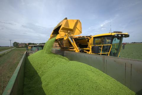
The growers cooperative HMC Peas have had yield mapping viners since 2017, so their repository of past yield map data for multiple varieties can be used to develop and calibrate an algorithm for predicting yield from satellite imagery.
The plan
European Space Agency funding has been secured to enable remote sensing specialists in ADAS to assess the most suitable satellite imagery for predicting vining pea yield, and to work with HMC yield maps to develop a yield prediction algorithm. This may then be offered as a commercial service for use by other vining pea grower groups. Already, grower groups and processors are supportive of the project; the processor Greenyard said “If we can predict the yield that is coming out of a field, we can ensure that crops are taken at the required TR band, our waste is kept to a minimum and the possibility of bypassing will reduce.”


