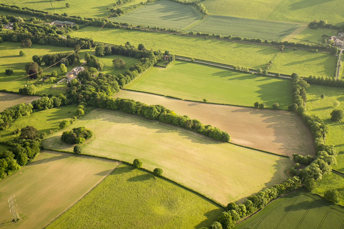
landscape

Routine topsoil samples should be taken from all fields for analysis of pH, P, K and Mg every 3-5 years. Accurate information on soil nutrient Indices and soil pH is essential for nutrient management planning. Various approaches and services are now available for in field mapping of soil nutrient availability. 

Traditional soil sampling where a single composite soil sample is collected from a field (usually a composite sample of 25 cores taken from a ‘W’ across the field) will provide an average soil pH and nutrient indices for the field. This is the cheapest soil sampling option, however it can potentially conceal significant variation in soil pH and nutrient indices. 

Soil sampling from a number of points within a field can provide information on spatial variability in soil pH and nutrient content and can be used as a basis to produce soil pH and nutrient maps.

There are two main approaches to precision soil sampling:
i.    Grid or regular sampling uses a regular sampling strategy such as sampling on a 100m grid or dividing the field into 1 ha polygons and sampling the centre point of each polygon. The location of each sampling point is GPS logged and this information is used to create a contoured map of soil pH and nutrients using a method of data interpolation to estimate values between the measured points.
ii.    Zone based or ‘targeted’ soil sampling uses existing knowledge of within field soil variability to direct where samples are taken. Soil zones can be based on measured soil and/or crop variability for example using soil EC maps, soil brightness maps, yield maps or any other source of information on within field variability. Once the zones are defined each is sampled separately. 
This type of more detailed soil sampling is of most value in variable fields where it identifies lower soil index areas which would otherwise have been under fertilised or under limed. For arable crops the target soil Indices are pH 6.5, P Index 2 and K Index 2-. Where soil pH or nutrient levels vary above these target levels, this variation should not be expected to affect crop yields, however variable rate fertiliser application may still offer cost savings from not over applying to higher Index areas.
 

Share your experience with soil mapping in the comments below, or by connecting a post to this Topic.

Related Organisations

Content below is from across the PEP community and is not necessarily endorsed by Stewards or by PEP

Connected Content

Soil is an essential natural resource for all farmers. Over recent years many initiatives have sought to provide information and advice on soils and Soil Health, notably AHDB Great Soils. 

The standard way to measure and monitor soils has been through soils samples taken to 15-30cm in representative W patterns. A range of technologies are now available commercially and in development to provide higher resolution data across a wider range of metrics. This page provides a space to share and discuss the available and coming tools, services and technologies.

Some of the commercially available digital tools & software include: Fieldview - Bayer Granular - Corteva Xarvio - BASF John Deere Operations Centre Omnia Agleader SMS Breedr Fieldmargin Yagro Geopard AgAnalytics Data Baler Agrible Habiterre Combyne MyFarms CropTrak Trinity Agtech - Sandy AgTools Agricircle   Join this page to add and edit  

Precision farming involves the use of GPS, sensing and control technologies to use spatial data to manage soils, crops and livestock. 

As pioneers in UK precision farming since 1993 we know the difference between sustainable improvements to crop production and the latest trends. Our early commitment to the principle of applying inputs at the right rate and in the right place led the way for 20 years of scientific innovation. Today, SOYL still leads the way and our commercial services are backed by the UK’s largest precision farming specific research and development programme.

Precision farming software and services integrating layers of data.

Soil is a major source of nutrients needed by plants for growth.

Soilscapes is a 1:250,000 scale, simplified soils dataset covering England and Wales.

AHDB Project 2014-2017 - PF Hort - A Review of Precision Farming Techniques for Improved Soil and

Write whatever you want here - this is the main section. You can add links, add pictures and embed videos. To paste text from elsewhere use CTRL+Shift+V to paste without formatting. Add videos by selecting 'Full HTML' below, copying the 'embed html' from the source page (eg Youtube), clicking 'Source' above and pasting where you want the video to appear.
You can upload an image here. It can be jpg, jpeg, gif or png format.
Upload requirements

You can upload a file here, such as a pdf report, or MS Office documents, Excel spreadsheet or Powerpoint Slides.

Upload requirements
Authors Order
Add Authors here - you can only add them if they already exist on PEP. Just start writing their name then select to add it. To add multiple authors click the 'Add another item' button below.

Please ensure that you have proof-read your content. Pages are not edited further once submitted and will go live immediately.

Configure the meta tags below.

Use tokens to avoid redundant meta data and search engine penalization. For example, a 'keyword' value of "example" will be shown on all content using this configuration, whereas using the [node:field_keywords] automatically inserts the "keywords" values from the current entity (node, term, etc).

Browse available tokens.

Simple meta tags.

The text to display in the title bar of a visitor's web browser when they view this page. This meta tag may also be used as the title of the page when a visitor bookmarks or favorites this page, or as the page title in a search engine result. It is common to append '[site:name]' to the end of this, so the site's name is automatically added. It is recommended that the title is no greater than 55 - 65 characters long, including spaces.
A brief and concise summary of the page's content, preferably 150 characters or less. Where as the description meta tag may be used by search engines to display a snippet about the page in search results, the abstract tag may be used to archive a summary about the page. This meta tag is no longer supported by major search engines.

Meta tags that might not be needed by many sites.

Geo-spatial information in 'latitude; longitude' format, e.g. '50.167958; -97.133185'; see Wikipedia for details.
Geo-spatial information in 'latitude, longitude' format, e.g. '50.167958, -97.133185'; see Wikipedia for details.
Robots
A comma-separated list of keywords about the page. This meta tag is used as an indicator in Google News.
Highlight standout journalism on the web, especially for breaking news; used as an indicator in Google News. Warning: Don't abuse it, to be used a maximum of 7 times per calendar week!
This meta tag communicates with Google. There are currently two directives supported: 'nositelinkssearchbox' to not to show the sitelinks search box, and 'notranslate' to ask Google not to offer a translation of the page. Both options may be added, just separate them with a comma. See meta tags that Google understands for further details.
Used to rate content for audience appropriateness. This tag has little known influence on search engine rankings, but can be used by browsers, browser extensions, and apps. The most common options are general, mature, restricted, 14 years, safe for kids. If you follow the RTA Documentation you should enter RTA-5042-1996-1400-1577-RTA
Indicate to search engines and other page scrapers whether or not links should be followed. See the W3C specifications for further details.
Tell search engines when to index the page again. Very few search engines support this tag, it is more useful to use an XML Sitemap file.
Control when the browser's internal cache of the current page should expire. The date must to be an RFC-1123-compliant date string that is represented in Greenwich Mean Time (GMT), e.g. 'Thu, 01 Sep 2016 00:12:56 GMT'. Set to '0' to stop the page being cached entirely.

The Open Graph meta tags are used to control how Facebook, Pinterest, LinkedIn and other social networking sites interpret the site's content.

The Facebook Sharing Debugger lets you preview how your content will look when it's shared to Facebook and debug any issues with your Open Graph tags.

The URL of an image which should represent the content. The image must be at least 200 x 200 pixels in size; 600 x 316 pixels is a recommended minimum size, and for best results use an image least 1200 x 630 pixels in size. Supports PNG, JPEG and GIF formats. Should not be used if og:image:url is used. Note: if multiple images are added many services (e.g. Facebook) will default to the largest image, not specifically the first one. Multiple values may be used, separated by a comma. Note: Tokens that return multiple values will be handled automatically. This will be able to extract the URL from an image field if the field is configured properly.
The URL of an video which should represent the content. For best results use a source that is at least 1200 x 630 pixels in size, but at least 600 x 316 pixels is a recommended minimum. Object types supported include video.episode, video.movie, video.other, and video.tv_show. Multiple values may be used, separated by a comma. Note: Tokens that return multiple values will be handled automatically.
A alternative version of og:image and has exactly the same requirements; only one needs to be used. Multiple values may be used, separated by a comma. Note: Tokens that return multiple values will be handled automatically. This will be able to extract the URL from an image field if the field is configured properly.
The secure URL (HTTPS) of an image which should represent the content. The image must be at least 200 x 200 pixels in size; 600 x 316 pixels is a recommended minimum size, and for best results use an image least 1200 x 630 pixels in size. Supports PNG, JPEG and GIF formats. Multiple values may be used, separated by a comma. Note: Tokens that return multiple values will be handled automatically. This will be able to extract the URL from an image field if the field is configured properly. Any URLs which start with "http://" will be converted to "https://".
The type of image referenced above. Should be either 'image/gif' for a GIF image, 'image/jpeg' for a JPG/JPEG image, or 'image/png' for a PNG image. Note: there should be one value for each image, and having more than there are images may cause problems.
The date this content was last modified, with an optional time value. Needs to be in ISO 8601 format. Can be the same as the 'Article modification date' tag.
The date this content was last modified, with an optional time value. Needs to be in ISO 8601 format.
The date this content will expire, with an optional time value. Needs to be in ISO 8601 format.

A set of meta tags specially for controlling the summaries displayed when content is shared on Twitter.

Notes:
  • no other fields are required for a Summary card
  • Photo card requires the 'image' field
  • Media player card requires the 'title', 'description', 'media player URL', 'media player width', 'media player height' and 'image' fields,
  • Summary Card with Large Image card requires the 'Summary' field and the 'image' field,
  • Gallery Card requires all the 'Gallery Image' fields,
  • App Card requires the 'iPhone app ID' field, the 'iPad app ID' field and the 'Google Play app ID' field,
  • Product Card requires the 'description' field, the 'image' field, the 'Label 1' field, the 'Data 1' field, the 'Label 2' field and the 'Data 2' field.
A description that concisely summarizes the content of the page, as appropriate for presentation within a Tweet. Do not re-use the title text as the description, or use this field to describe the general services provided by the website. The string will be truncated, by Twitter, at the word to 200 characters.
By default Twitter tracks visitors when a tweet is embedded on a page using the official APIs. Setting this to 'on' will stop Twitter from tracking visitors.
The URL to a unique image representing the content of the page. Do not use a generic image such as your website logo, author photo, or other image that spans multiple pages. Images larger than 120x120px will be resized and cropped square based on longest dimension. Images smaller than 60x60px will not be shown. If the 'type' is set to Photo then the image must be at least 280x150px. This will be able to extract the URL from an image field if the field is configured properly.
The MIME type for the media contained in the stream URL, as defined by RFC 4337.